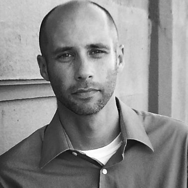
Gary Bilotta serves as the GIS Director for the Maricopa County Recorder’s Office, where he leverages nearly two decades of expertise in Geographic Information Systems (GIS) to enhance the electoral process through innovative mapping solutions. With a robust background in application development and project management,...
Gary Bilotta serves as the GIS Director for the Maricopa County Recorder’s Office, where he leverages nearly two decades of expertise in Geographic Information Systems (GIS) to enhance the electoral process through innovative mapping solutions. With a robust background in application development and project management, Gary has spent over fifteen years honing his skills in creating impactful GIS applications that facilitate informed decision-making for both the public and local officials. His role involves leading a dedicated team of GIS professionals within the Elections Department, where they collaborate to deliver high-quality mapping services that support election planning and voter engagement.
One of Gary's key achievements includes the development of the election department’s interactive mapping websites, which utilize advanced technologies such as HTML, JavaScript, Silverlight, and ArcGIS Server. These platforms empower citizens to easily access critical information, such as polling locations and election districts, by simply entering their address. This not only enhances transparency but also fosters greater civic participation. Gary’s expertise in ArcGIS Desktop, ArcSDE, and various programming languages, including VB.NET and ASP.NET, allows him to define project requirements effectively and implement tailored solutions that meet the evolving needs of the community.
In addition to his technical skills, Gary excels in building relationships with elected officials and local leaders, ensuring that GIS initiatives align with the strategic goals of the Maricopa County Recorder’s Office. His commitment to leveraging data analysis and mapping technologies positions him as a vital contributor to the integrity and efficiency of the electoral process, making him a respected figure in the GIS community.


